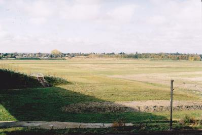
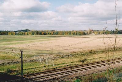
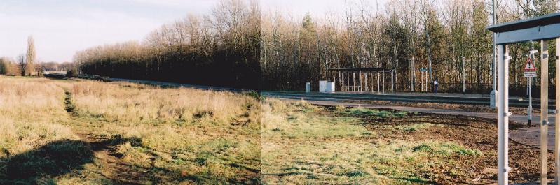
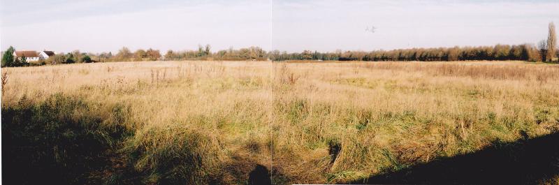
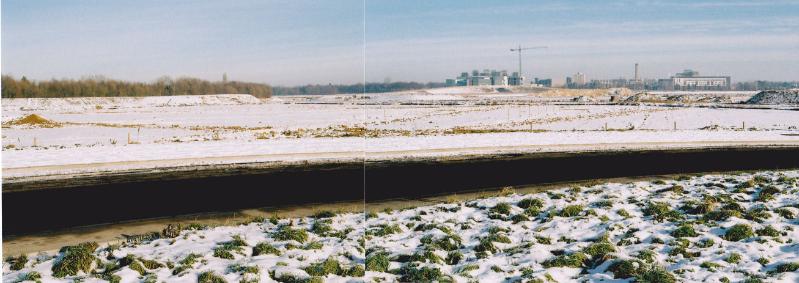
This is one of a series of pages about the development of Clay Farm , from 2010 to the present.
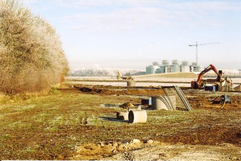
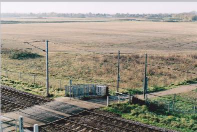
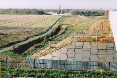
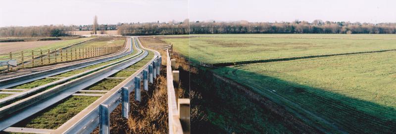
Clay Farm from the east end of the Addenbrooke’s Road railway bridge. Photos: Andrew Roberts, 6 November 2010.
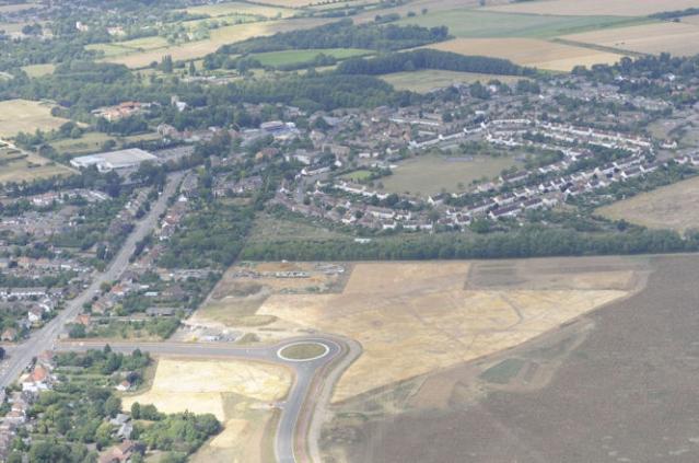
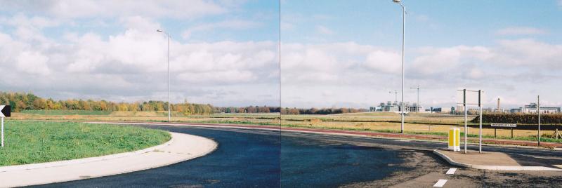
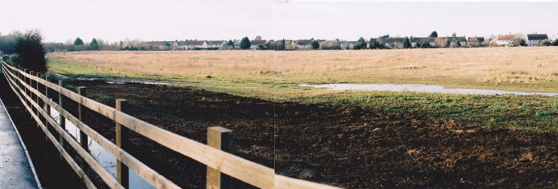
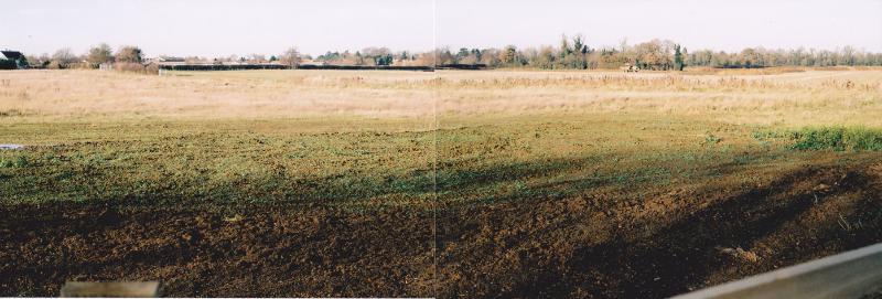
This is one of a series of pages about the development of Clay Farm , from 2010 to the present.
Clay Farm from the east end of the Addenbrooke’s Road railway bridge. Photos: Andrew Roberts, 6 November 2010.