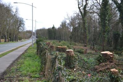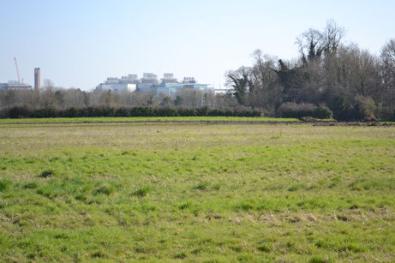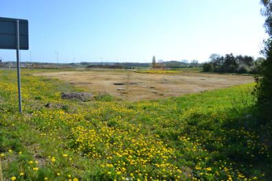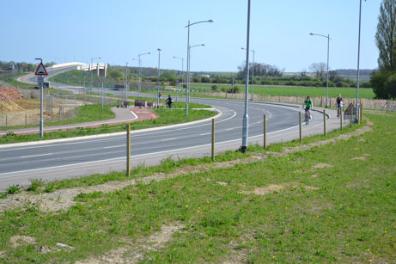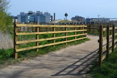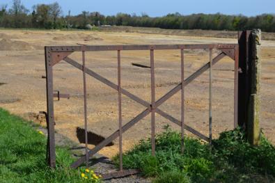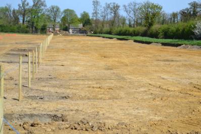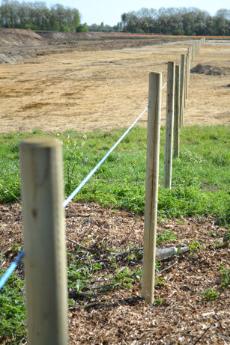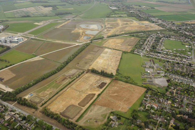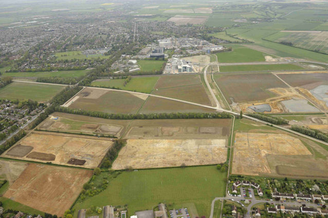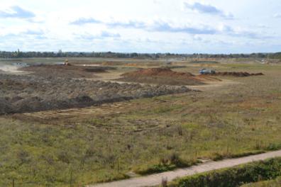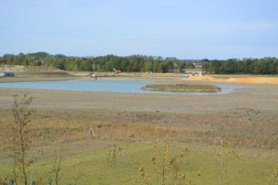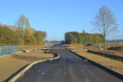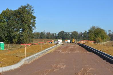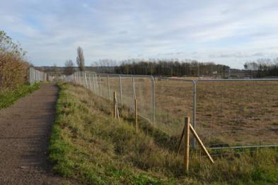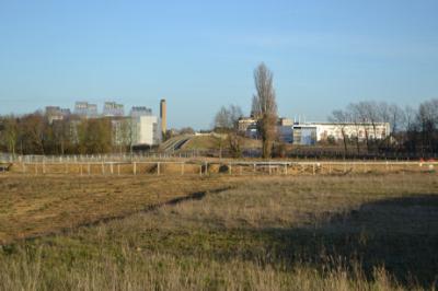
This is one of a series of pages about the development of Clay Farm , from 2010 to the present.
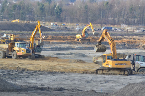
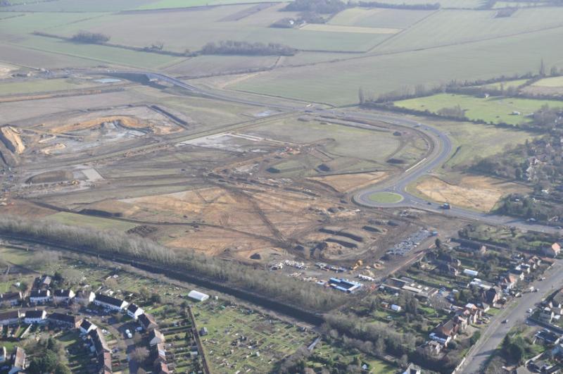
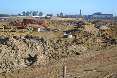
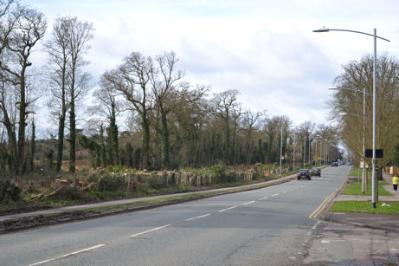
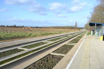
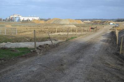
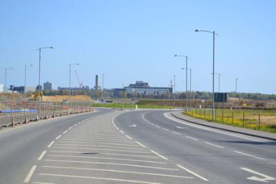
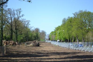
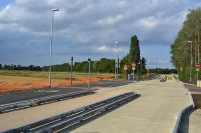
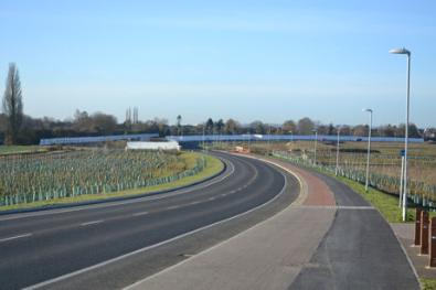
Construction work on the Clay Farm spine road from the Addenbrooke’s Road roundabout. Photo: Andrew Roberts, 9 January 2011.
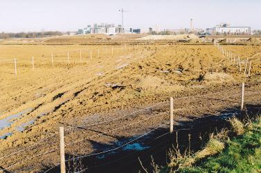
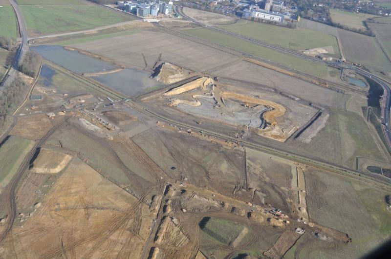
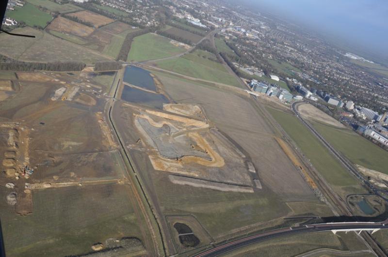
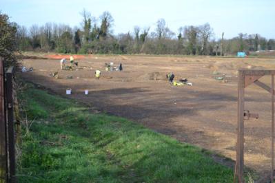
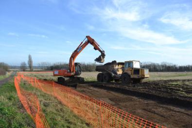
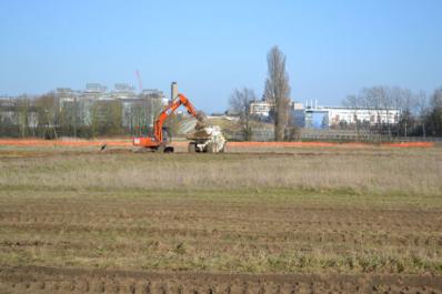
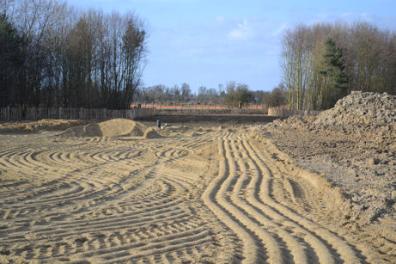
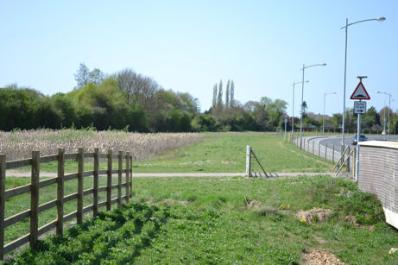
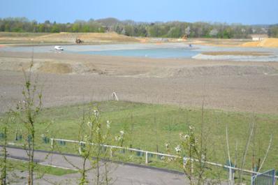
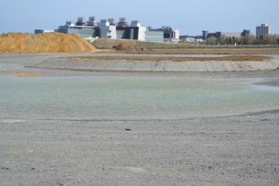
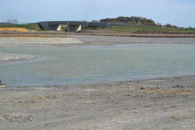
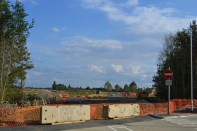
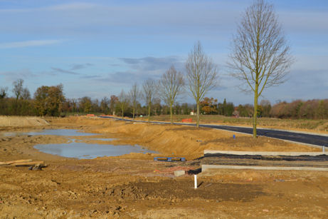
Looking across the Clay Farm green corridor with work underway to construct the ponds, from the approach to the Addenbrooke’s Road bridge. Photo: Andrew Roberts, 9 February 2011.