Clay Farm park, looking towards the busway bridge and LMB, with oxeye daisies in flower . Photo: Andrew Roberts , 15 June 2015.
This is one of a series of pages about Clay Farm .
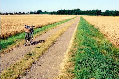
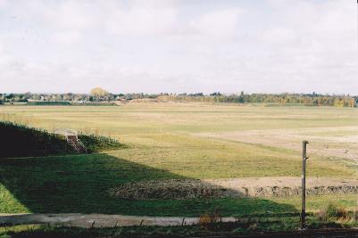
Looking west across Clay Farm to the shelter belt along the line of the old railway, from the track from the allotments towards Nine Wells. Photo: Andrew Roberts, August 2007.
Looking west across Clay Farm to the shelter belt along the line of the old railway, from the track from the allotments towards Nine Wells. Photo: Andrew Roberts, August 2007.
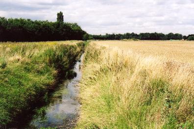
Hobson’s Brook, looking north near the track from the allotments to Addenbrooke’s Hospital and Nine Wells, Clay Farm, Trumpington, with the track from Paget Close to Addenbrooke’s in the distance. Photo: Andrew Roberts, August 2007.
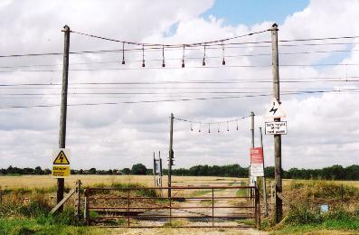
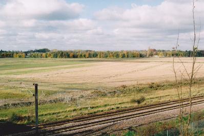
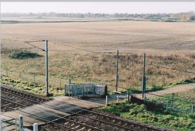
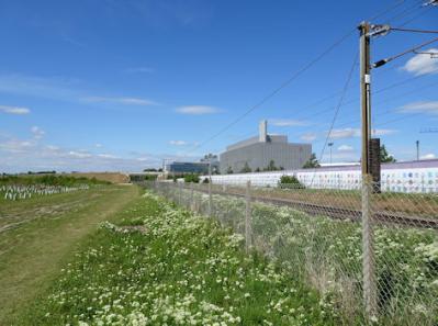
The railway crossing on the track from the allotments towards Addenbrooke’s Hospital and Nine Wells, looking west across the Clay Farm site towards Trumpington. Photo: Andrew Roberts, August 2007.
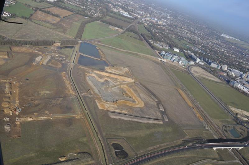
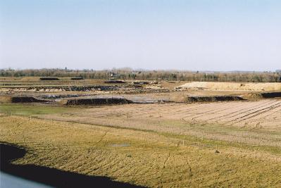
Aerial photograph of Clay Farm from the south, at an early stage in the infrastructure work to create the country park.. Source: Patrick Squire for Tamdown, 7 February 2011.
Clay Farm from the east end of the Addenbrooke’s Road railway bridge. Photos: Andrew Roberts, 6 November 2010.
Clay Farm from the east end of the Addenbrooke’s Road railway bridge. Photos: Andrew Roberts, 6 November 2010.
Construction work on ponds in the Clay Farm green corridor from the Addenbrooke’s Road bridge. Photo: Andrew Roberts, 9 January 2011.
Looking across the Clay Farm green corridor with work underway to construct the ponds, from the approach to the Addenbrooke’s Road bridge. Photo: Andrew Roberts, 9 February 2011.
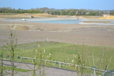
Looking from Addenbrooke’s Road over Clay Farm towards the new lake. Photo: Andrew Roberts, 9 April 2011.
The Clay Farm country park from Addenbrooke’s Road bridge. Photo: Andrew Roberts, 29 October 2012.
The Clay Farm country park from Addenbrooke’s Road bridge. Photo: Andrew Roberts, 29 October 2012.
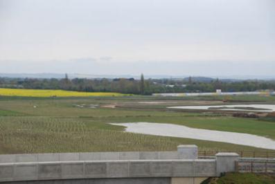
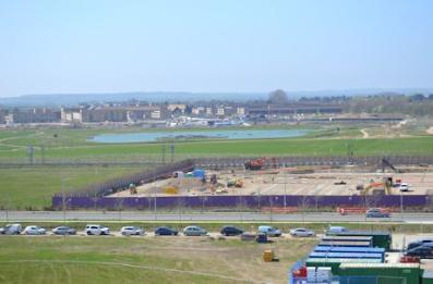
Looking from Addenbrooke’s Road near Hobson’s Brook across the Clay Farm park, towards the busway and LMB building. Photo: Andrew Roberts, 3 November 2012.
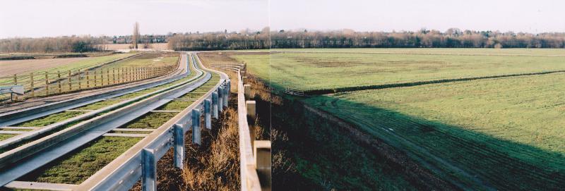
Clay Farm and Trumpington from the Guided Busway railway bridge. Photo: Andrew Roberts, 19 November 2010.
Clay Farm and Trumpington from the Guided Busway railway bridge. Photo: Andrew Roberts, 19 November 2010.
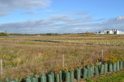
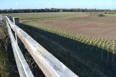
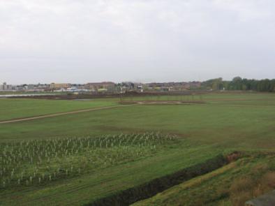
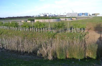
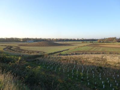
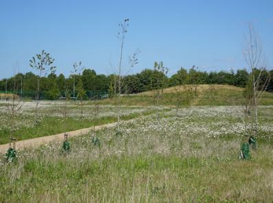
Newly planted trees alongside the railway, Clay Farm country park from the busway bridge. Photo: Andrew Roberts, 17 April 2012.
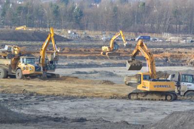
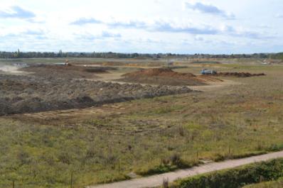
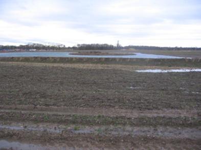
Earth moving in the Clay Farm green corridor. Photo: Andrew Roberts, 4 October 2011.
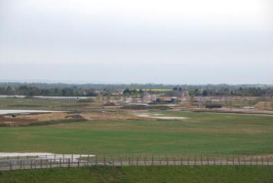
Looking across the Clay Farm country park from Laboratory of Molecular Biology (LMB) building. Photo: Matthew Paul, Cambridge City Council, 2 May 2012.
Looking across the Clay Farm country park from Laboratory of Molecular Biology (LMB) building. Photo: Matthew Paul, Cambridge City Council, 2 May 2012.
From the Guided Busway railway bridge looking west over Clay Farm and Trumpington. Photo: Andrew Roberts, 11 December 2010.
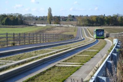
Clay Farm and the track up to the Busway bridge. Photo: Andrew Roberts, 5 November 2012.
Looking across the northern part of the Clay Farm park from the Busway bridge. Photo: Andrew Roberts, 5 November 2012.
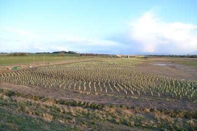
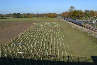
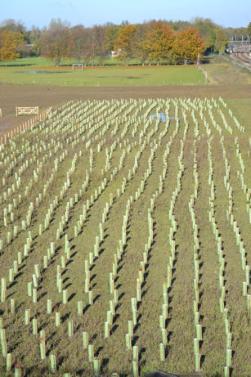
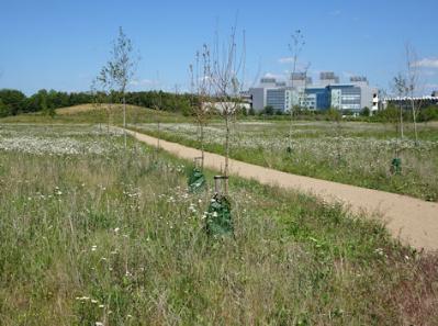
The northern part of the Clay Farm park, with newly-planted trees, from the Busway bridge. Photo: Andrew Roberts, 5 November 2012.
The northern part of the Clay Farm park, with newly-planted trees, from the Busway bridge. Photo: Andrew Roberts, 5 November 2012.
Looking across the southern part of the Clay Farm park towards the Busway bridge, the LMB building and Addenbrooke’s Hospital. Photo: Andrew Roberts, 5 November 2012.
Looking across the Clay Farm park towards the Addenbrooke’s Road bridge from the Busway. Photo: Andrew Roberts, 11 November 2012.
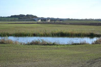
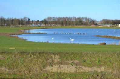
The lake in the southern green corridor, Clay Farm. Photo: Elizabeth Rolph, 7 December 2012.
The waterlogged southern green corridor, Clay Farm. Photo: Elizabeth Rolph, 7 December 2012.
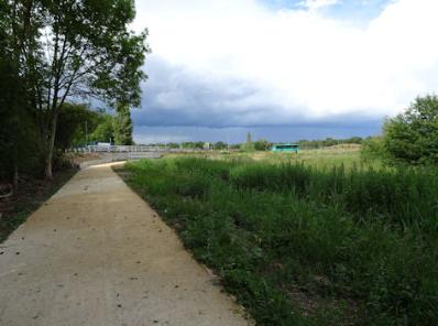
Looking across the new park towards Addenbrooke’s Road, Clay Farm. Photo: Andrew Roberts, 30 October 2013.
Progress with the new park, Clay Farm, with construction work on the Addenbrooke’s car park in the distance. Photo: Andrew Roberts, 30 October 2013.
Looking across the Clay Farm park from the Busway bridge. Photo: Elizabeth Rolph, 1 November 2013.
Looking across the new park from the Addenbrooke’s Road bridge, Clay Farm. Photo: Andrew Roberts, 30 October 2013.
Looking across the Clay Farm park from the Busway bridge. Photo: Elizabeth Rolph, 1 November 2013.
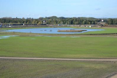
The lake on the Clay Farm park. Photo: Andrew Roberts, 28 December 2013.
Looking across the Clay Farm park. Photo: Andrew Roberts, 28 December 2013.
Looking across the Clay Farm park. Photo: Andrew Roberts, 28 December 2013.
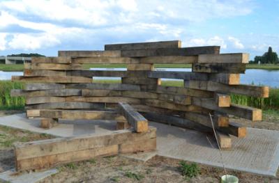
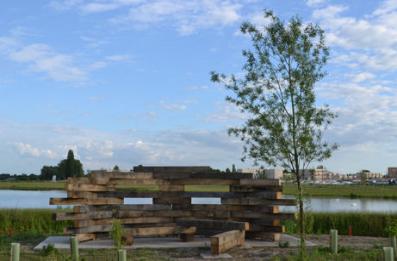
The newly-installed bird hide beside the lake on Clay Farm park, 8 June 2014.
The newly-installed bird hide beside the lake on Clay Farm park, 8 June 2014.
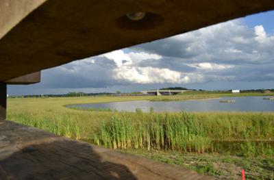
Looking from the newly-installed bird hide beside the lake on Clay Farm park, 8 June 2014.
Looking from the newly-installed bird hide beside the lake on Clay Farm park, 8 June 2014.
Looking from the newly-installed bird hide beside the lake on Clay Farm park. Photo: Andrew Roberts, 8 June 2014.
Looking from the spine road along the line of trees towards the busway bridge and hospital, Clay Farm, 10 December 2014.
Looking from the spine road towards the busway bridge and hospital, Clay Farm, 10 December 2014.
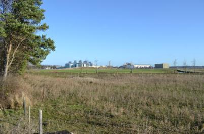
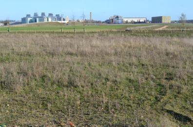
Overlooking the Papworth Hospital and AstraZeneca developments and Clay Farm from the Addenbrooke’s car park, 14 April 2015.
Overlooking the AstraZeneca development and Clay Farm from the Addenbrooke’s car park, 14 April 2015.
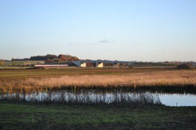
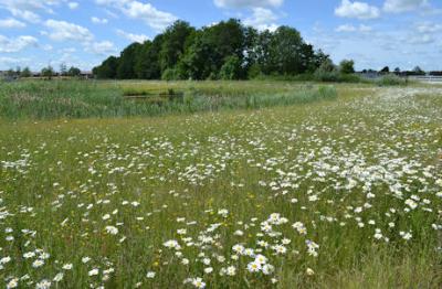
Clay Farm park and balancing pond, with oxeye daisies in flower, 15 June 2015.
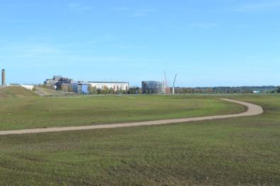
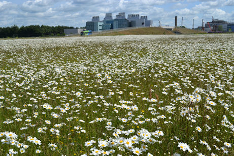
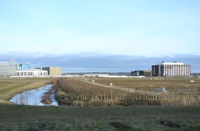
Clay Farm park, looking towards the busway bridge and LMB, with oxeye daisies in flower, 15 June 2015.
Clay Farm park, looking towards the busway bridge and LMB, with oxeye daisies in flower, 15 June 2015.
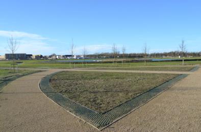
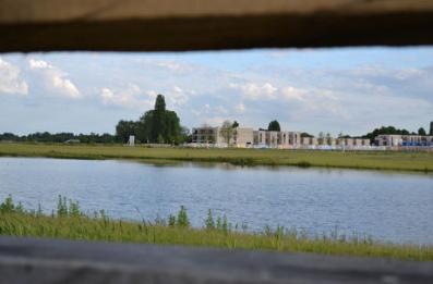
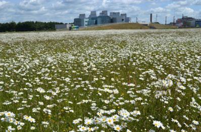
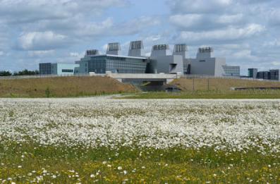
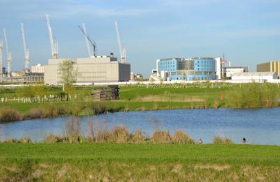
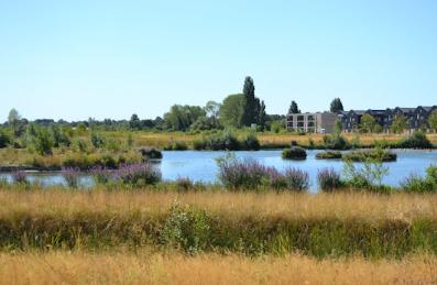
Clay Farm park, looking towards the busway bridge and LMB, with oxeye daisies in flower . Photo: Andrew Roberts , 15 June 2015.
Clay Farm park, looking towards the busway bridge and LMB, with oxeye daisies in flower, 15 June 2015.
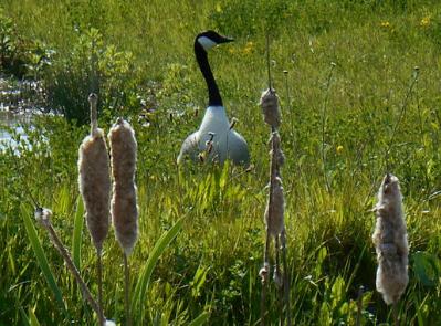
Canada goose at Clay Farm lake, from the northern bird screen, 21 May 2015.
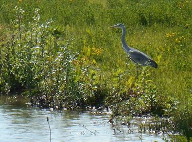
Heron at Clay Farm lake, from the northern bird screen, 21 May 2015.
Heron at Clay Farm lake, from the northern bird screen . Photo: Andrew Roberts , 21 May 2015.
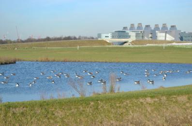
Geese on the lake on the Clay Farm park, from the southern bird screen looking towards LMB. Photo: Andrew Roberts, 16 February 2016.
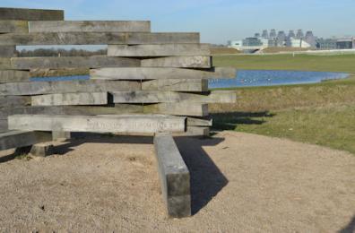
The southern bird screen in the Clay Farm park. Photo: Andrew Roberts, 16 February 2016.
The southern bird screen in the Clay Farm park. Photo: Andrew Roberts, 16 February 2016.
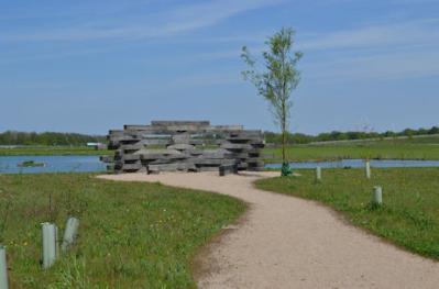
The bird screen in the Clay Farm park. Photo: Andrew Roberts, 8 May 2016.
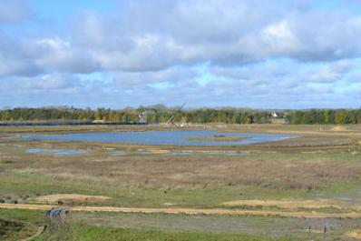
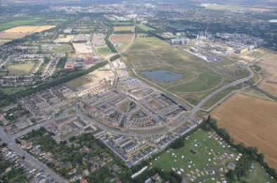
Aerial photograph of Trumpington from the south, showing the Clay Farm park and lake. Countryside, 16 August 2016.
Aerial photograph of Trumpington from the south, showing the Clay Farm park and lake. Countryside, 16 August 2016.
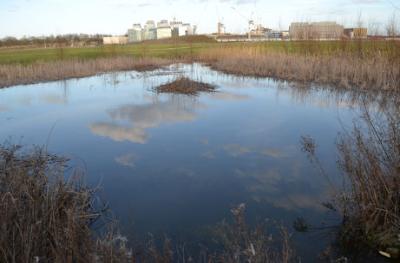
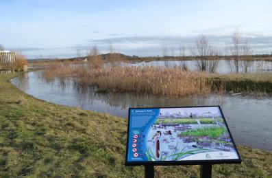
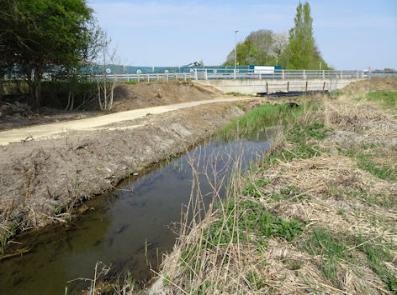
The pond on Hobson’s Park, looking towards CBC. Photo: Andrew Roberts, 2 March 2017.
The pond on Hobson’s Park, looking towards the busway. Photo: Andrew Roberts, 2 March 2017.
The pond on Hobson’s Park, looking towards the busway. Photo: Andrew Roberts, 2 March 2017..
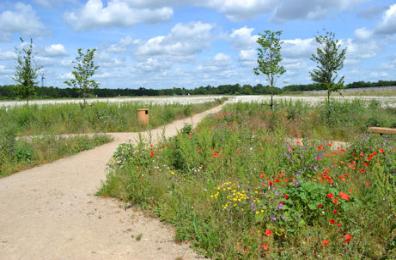
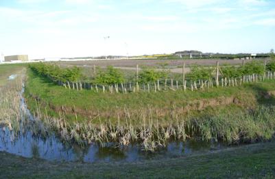
The boundary of the allotments, Hobson’s Park. Photo: Andrew Roberts, 9 April 2017.
The allotments, Hobson’s Park. Photo: Andrew Roberts, 9 April 2017.
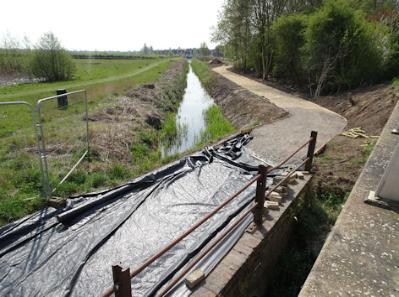
Looking over the larger pond on Hobson’s Park towards CBC. Photo: Andrew Roberts, 9 April 2017.
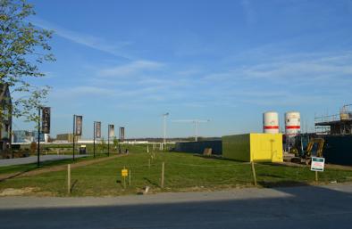
The site of Clay Farm Community Garden, Hobson’s Avenue, Clay Farm. Photo: Andrew Roberts, 9 April 2017.
The site of Clay Farm Community Garden, Hobson’s Avenue, Clay Farm. Photo: Andrew Roberts, 9 April 2017.
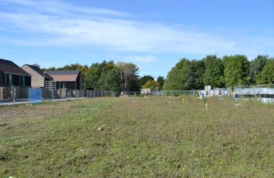
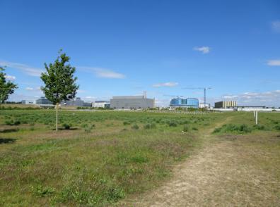
Looking across the site of Clay Farm Community Garden, from Hobson Avenue. Photo: Andrew Roberts, 30 September 2017.
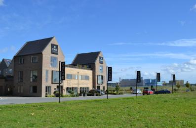
Looking across the site of Clay Farm Community Garden to newly completed homes on Pinnington Close, from Hobson Avenue. Photo: Andrew Roberts, 30 September 2017.
Looking across the eastern part of the site of Clay Farm Community Garden to newly completed homes on Pinnington Close, from Hobson Avenue. Photo: Andrew Roberts, 30 September 2017.
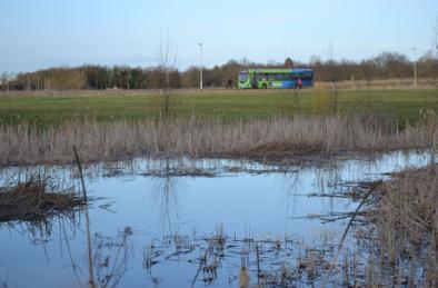
Hobson’s Park after a long dry period. Photo: Andrew Roberts, 2 August 2018.
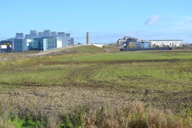
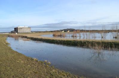
Potential location of Cambridge South Station in Hobson’s Park, with the Cambridge Biomedical Campus to the right. Photo: Andrew Roberts, 19 May 2020.