Clay Farm: Before Development Started

Harvested fields at Clay Farm, to the north of the track from Paget Close to Addenbrooke’s Hospital. Andrew Roberts, August 2007.
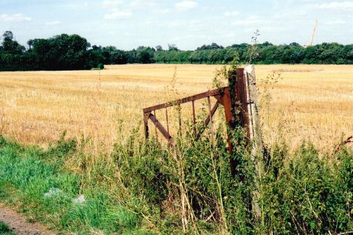
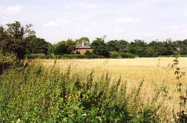
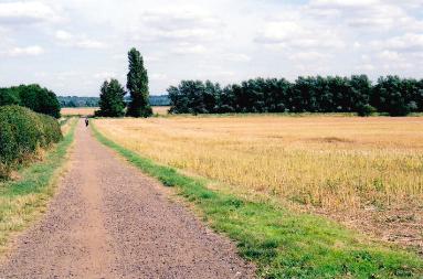
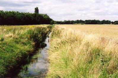
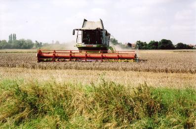
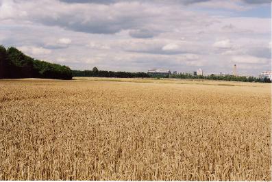
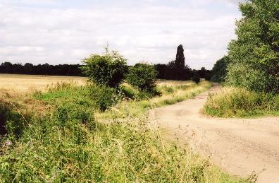
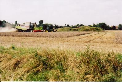
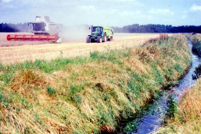
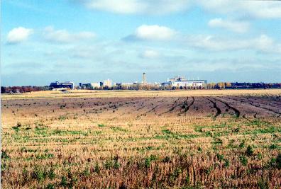
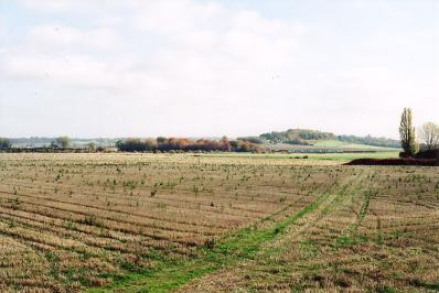
Clay Farm was a large farm to the east of Trumpington village, either side of Hobson’s Brook. It continued to be farmed until the late 2000s. This is one of a series of pages about Clay Farm .
Clay Farm farmhouse and field, Clay Farm, Trumpington, from the eastern end of Wingate Way, with trees along Long Road in the background. Photo: Andrew Roberts, August 2007.
Clay Farm farmhouse and field, Clay Farm, Trumpington, from the eastern end of Wingate Way. Photo: Andrew Roberts, August 2007.
Looking to the east along the track from Paget Close to Addenbrooke’s Hospital, at the rear of Paget Close. Photo: Andrew Roberts, August 2007.


Looking to the east along the track from Paget Close to Addenbrooke’s Hospital, at the rear of Paget Close. Photo: Andrew Roberts, August 2007.
Hobson’s Brook, looking north near the track from the allotments to Addenbrooke’s Hospital and Nine Wells, Clay Farm, Trumpington. Photo: Andrew Roberts, August 2007 .


Hobson’s Brook, looking north near the track from the allotments to Addenbrooke’s Hospital and Nine Wells, Clay Farm, Trumpington. Photo: Andrew Roberts, August 2007 .
Harvesting the Showground fields, Clay Farm. Photo: Andrew Roberts, August 2007.


Harvesting the Showground fields, Clay Farm. Photo: Andrew Roberts, August 2007.
Crops on Showground fields, looking east towards Addenbrooke’s Hospital, with shelter belt to left. Photo: Andrew Roberts, August 2007.


Crops on Showground fields, looking east towards Addenbrooke’s Hospital, with shelter belt to left. Photo: Andrew Roberts, August 2007.
The railway crossing on the track from the allotments towards Addenbrooke’s Hospital, looking west across Clay Farm. Photo: Andrew Roberts, August 2007.


The railway crossing on the track from the allotments towards Addenbrooke’s Hospital, looking west across Clay Farm. Photo: Andrew Roberts, August 2007.
Along the line of the old railway, looking north east from the crossing point with the track from the allotments to Addenbrooke’s Hospital. Photo: Andrew Roberts, August 2007.


Along the line of the old railway, looking north east from the crossing point with the track from the allotments to Addenbrooke’s Hospital. Photo: Andrew Roberts, August 2007.
Harvesting the Showground fields, Clay Farm, with Hobson’s Brook in the foreground, looking north towards the shelter belt. Photo: Andrew Roberts, August 2007.


Harvesting the Showground fields, Clay Farm, with Hobson’s Brook in the foreground, looking north towards the shelter belt. Photo: Andrew Roberts, August 2007.


Harvesting the Showground fields, Hobson’s Brook in the foreground, looking north towards the shelter belt. Photo: Andrew Roberts, August 2007.


Harvesting the Showground fields, Hobson’s Brook in the foreground, looking north towards the shelter belt. Photo: Andrew Roberts, August 2007.
Looking towards Shelford Road from Addenbrooke’s Hospital, with Hobson’s Brook and Clay Farm in the foreground and Haslingfield in the distance. Photo: Andrew Roberts, 6 January 2008.


Looking towards Shelford Road from Addenbrooke’s Hospital, with Hobson’s Brook and Clay Farm in the foreground and Haslingfield in the distance. Photo: Andrew Roberts, 6 January 2008.
Looking across the Showground fields towards Addenbrooke’s Hospital. Photo: Andrew Roberts, 2 November 2007.


Looking across the Showground fields towards Addenbrooke’s Hospital. Photo: Andrew Roberts, 2 November 2007.
Looking across the Showground fields towards the railway and Nine Wells. Photo: Andrew Roberts, 2 November 2007.


Looking across the Showground fields towards the railway and Nine Wells. Photo: Andrew Roberts, 2 November 2007.
In 2008-2011, the old railway line was converted into the Guided Busway and Addenbrooke’s Road was constructed across the south side of Clay Farm. See also the History Group reports on the Busway through Trumpington . and the opening of Addenbrooke’s Road